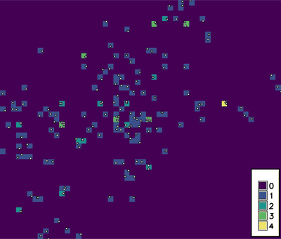
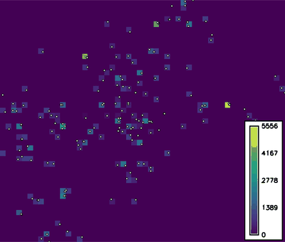
Figure: Number of schools (left part) and sum of CAPACITYTO attribute column (right part) in grid of spatial resolution 1km.
Use g.region to set the extent and resolution of the resulting raster.
g.region res=1000 vector=schools_wake
r.vect.stats input=schools_wake output=schools_count
r.vect.stats input=schools_wake output=schools_capacity_sum column=CAPACITYTO method=sum
Last changed: $Date$