GRASS GIS (Geographic Resources Analysis Support System)

GRASS 6 Screenshots - Vector Operations

Click image to see larger version

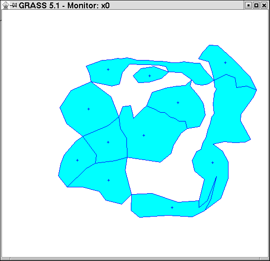
Heads up digitizing with v.digit

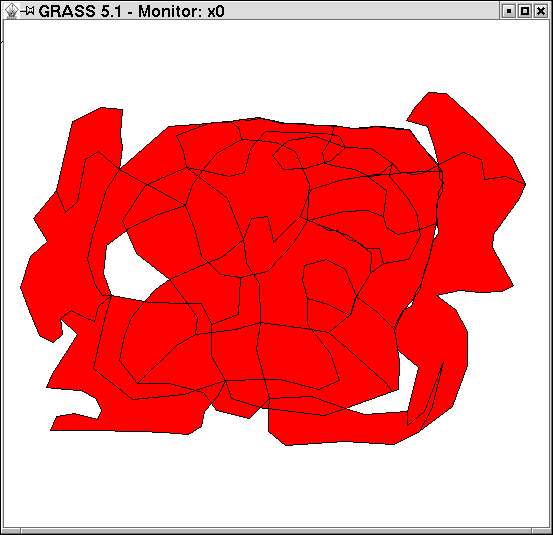
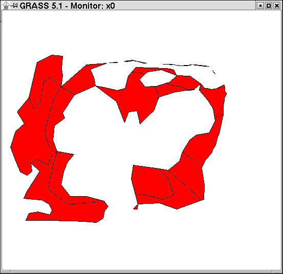
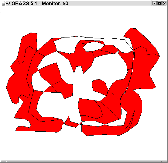
Buffering with v.buffer

Overlapping polygons

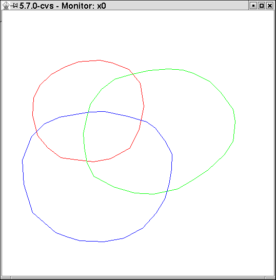
Overlapping polygons input from Shapefile (or any other OGR simple feature format)

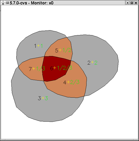
Result (areas colored by number of overlapping areas, categories of layer 1 and 2)

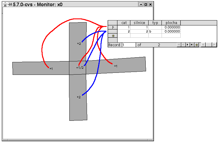
Another example of overlapping features in one layer (overpass)


Example of import and use in GRASS

  • v.in.ogr dsn=./shp/ layer=fire output=fire_p
  • v.category input=fire_p output=fire_c type=centroid field=2
  • echo "create table fire_c_2 (id int, num int)" | db.execute
  • v.db.connect map=fire_c driver=pg database=bridge layer=2 table=fire_c_2 key=id
  • v.to.db map=fire_c layer=2 option=cat col1=id
  • v.to.db map=fire_c layer=2 qlayer=1 option=query col1=num qcol="count(*)" type=centroid

Number of overlapping features is also written as category to centroid.


Vector overlay using v.overlay


Input A and B


intersection (operator=and)

union (operator=or)


not (operator=not)

exclusive or (operator=xor)

Charting using d.vect.chart

Pie chart

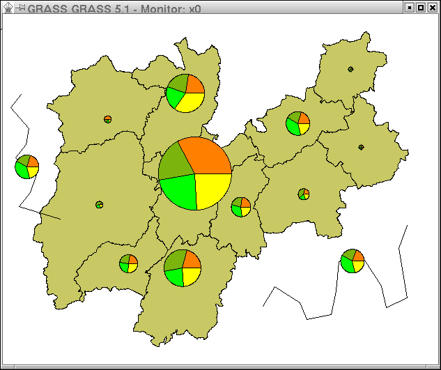
Pie charts (default)

Bar chart

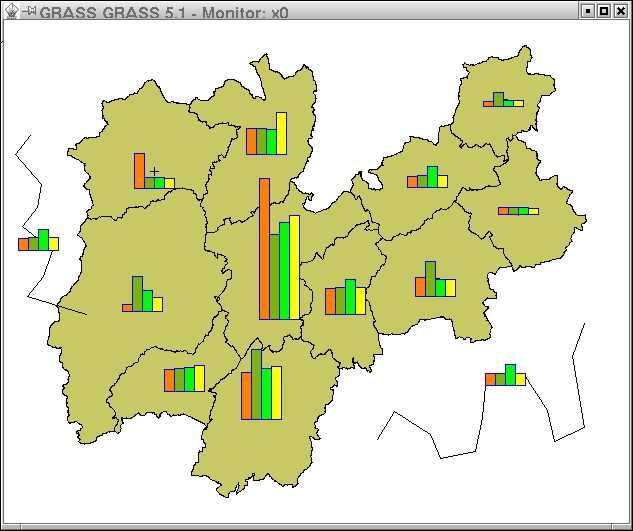
Bar charts (ctype=bar)

Network analysis

v.net.iso

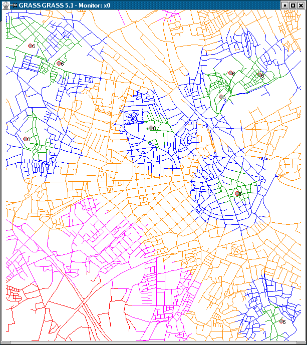
Split network into bands using v.net.iso

v.net.alloc

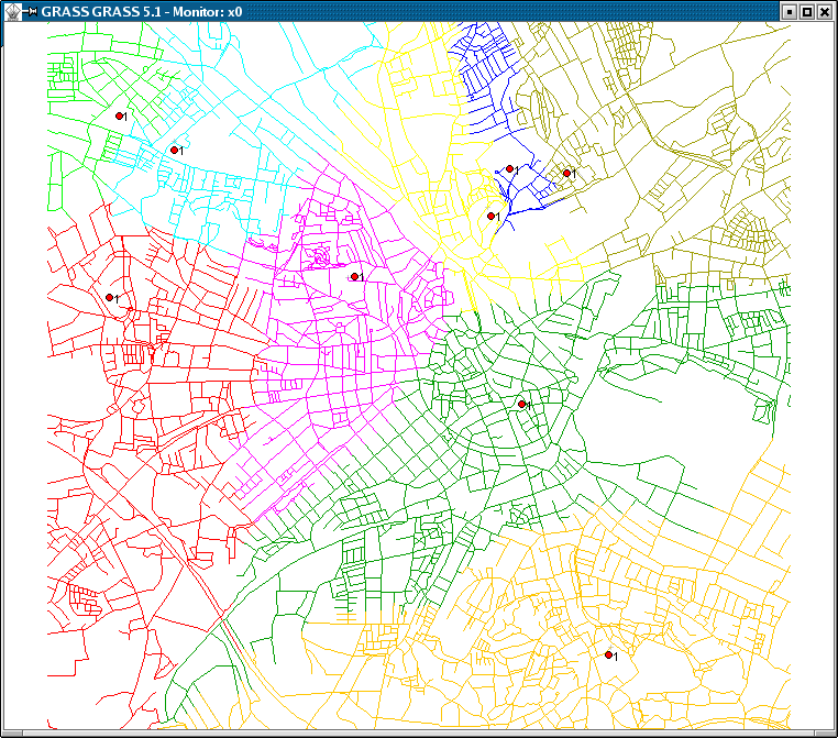
Allocate subnets using v.net.alloc

d.path

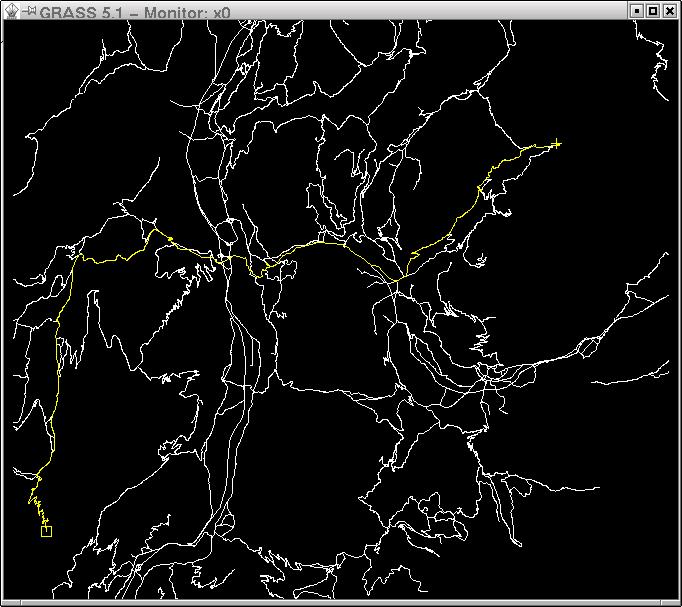
Shortest path using d.path


© 1997-2005 GRASS Development Team
Imprint | Comments about this page