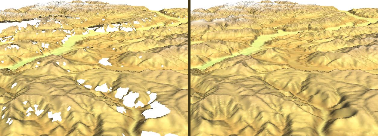
Void filling in SRTM DEM data with splines (r.fillnulls). See related article
in GRASS Newsletter #3, June 2005
(screenshot: M. Neteler)
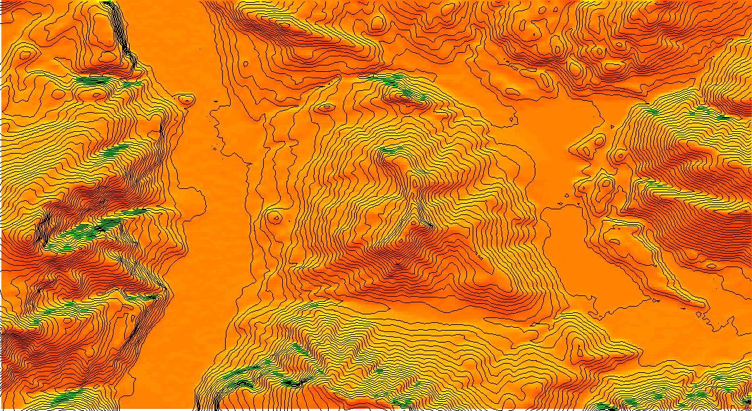
Accumulated daily global radiation for 1 year at Trento (Italy) without shadow and
cloud correction (r.sun). The valleys are at 200-600m elevation while the mountains reach 2100m.
(SRTM V2 data, screenshot: M. Neteler)
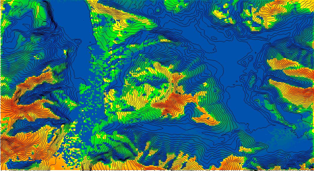
Accumulated daily global radiation for 1 year at Trento (Italy) with shadow correction (r.sun).
The valleys are at 200-600m elevation while the mountains reach 2100m. This map is
much closer to reality, optional cloud correction was not applied. The color table is identical
to above uncorrected map.
(SRTM V2 data, screenshot: M. Neteler)
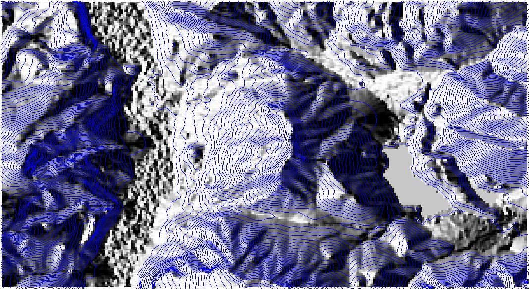
Visualization of SRTM V2 DEM used for above global radiation analysis (SRTM V2 data, screenshot: M. Neteler)