See also: Wikipedia entry (EN).
See also: GRASS User map.

|
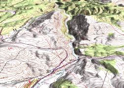
Commonly referred to as GRASS, this is a free Geographic Information
System (GIS) used for geospatial data management and analysis, image
processing, graphics/maps production, spatial modeling, and
visualization. GRASS is currently used in academic and commercial
settings around the world, as well as by many governmental agencies
and environmental consulting companies. GRASS is an official project of
the Open Source Geospatial Foundation.
See also: Wikipedia entry (EN). See also: GRASS User map. |

|
There are numerous companies providing professional support.
Academic institutions, governmental agencies, public administration: