
winGRASS installer
screenshot: Markus Neteler
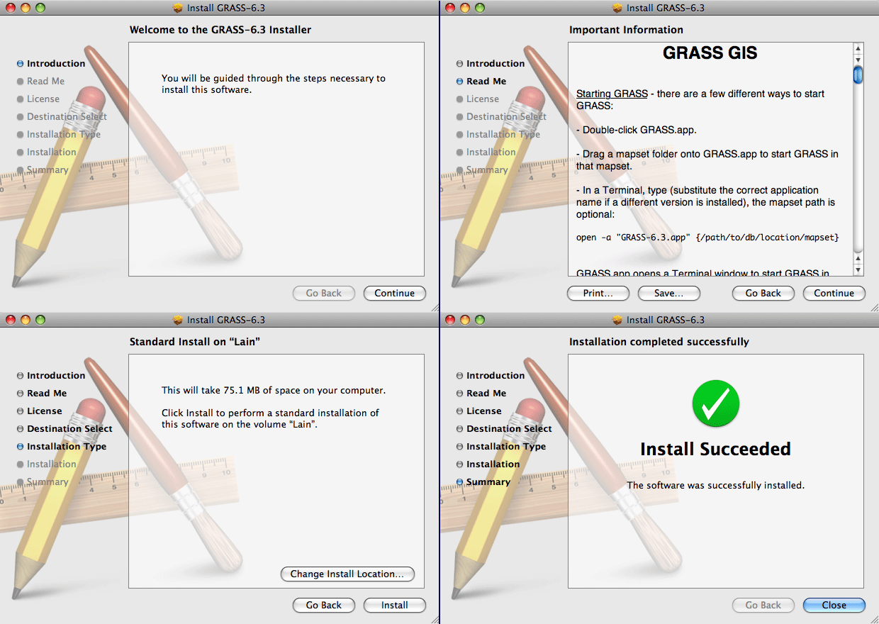
MacOSX installer
screenshot: William Kyngesburye
[ GRASS Installation - wxPython (new GUI) - Tcl/TK GUI - Quantum GIS with GRASS toolbox ]
|
winGRASS installer screenshot: Markus Neteler
MacOSX installer screenshot: William Kyngesburye |

3D view mode (GRASS 6.5) 
Startup screen (GRASS 6.3) 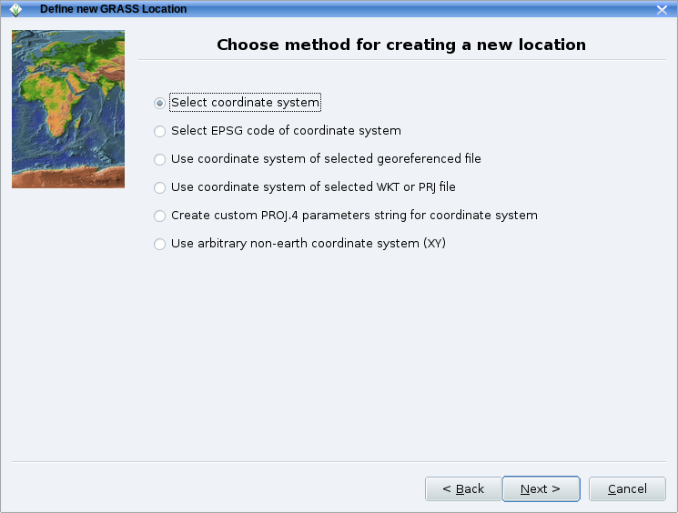
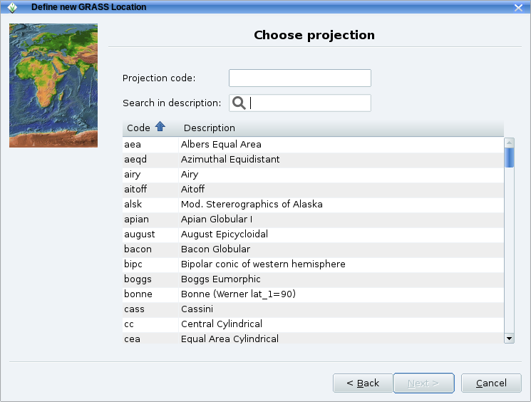
The location wizard provides a number of ways to set the map projection: from a geodata file, using an EPSG code, set parameters manually, ...) 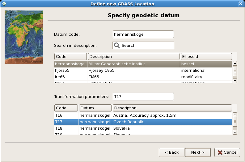
The location wizard also helps you select the appropriate geodetic datum and transform parameters for your map projection. 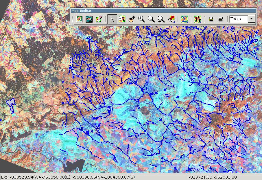
Main map display window (GRASS 6.3) 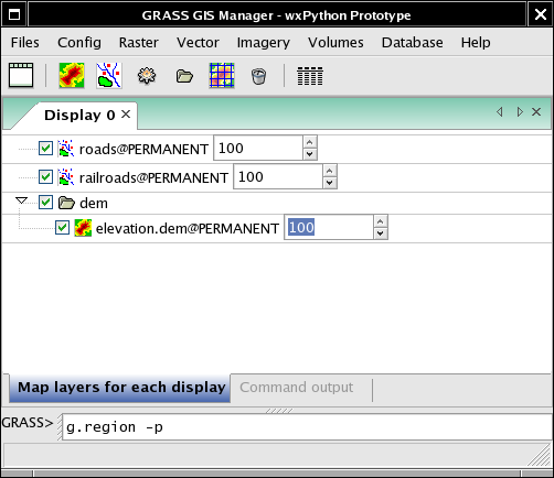
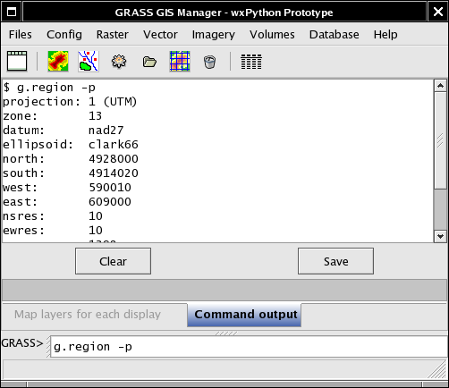
GIS layer manager (GRASS 6.3) 
Attribute Table Manager (GRASS 6.3) 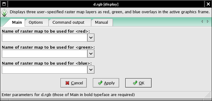
Module GUIs 
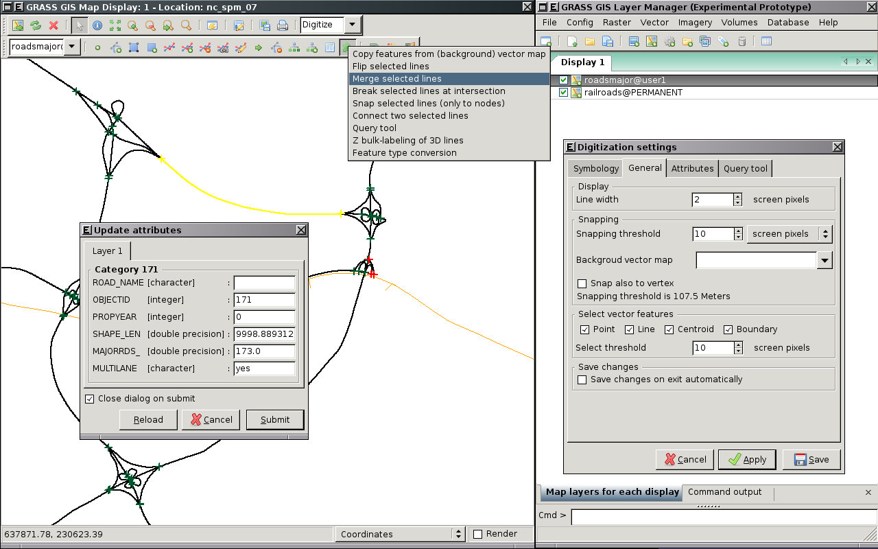
Vector digitization tool (GRASS 6.3) |
|
Startup and location definition
|
|
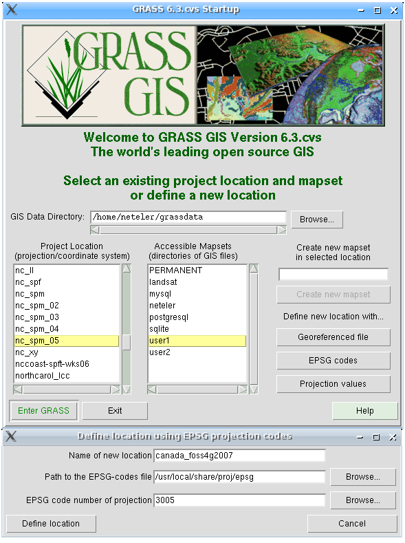
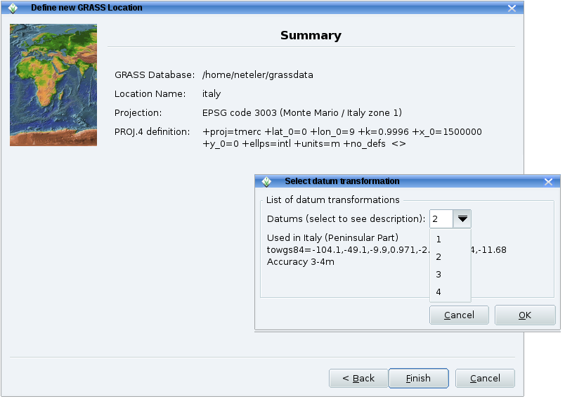
Definition of a new GRASS location using the given EPSG code 3005
|
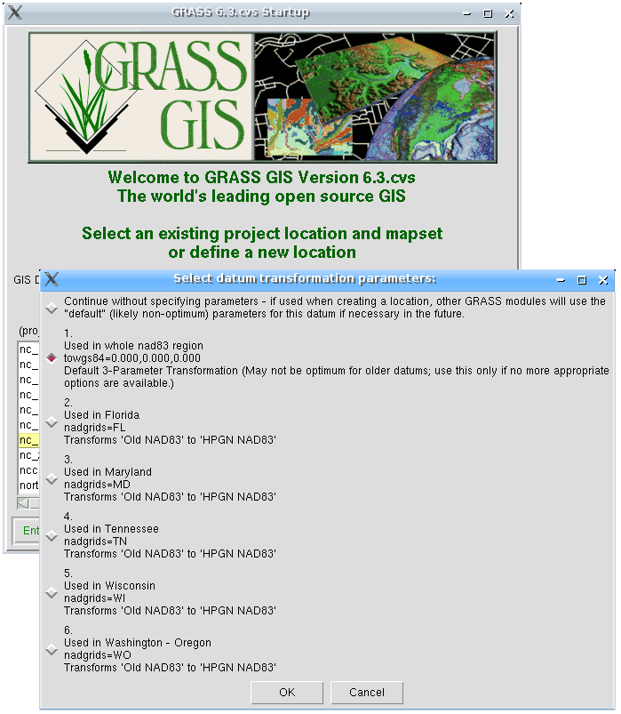
Selection of geodetic datum for EPSG code 3005
|
|
Map Display window 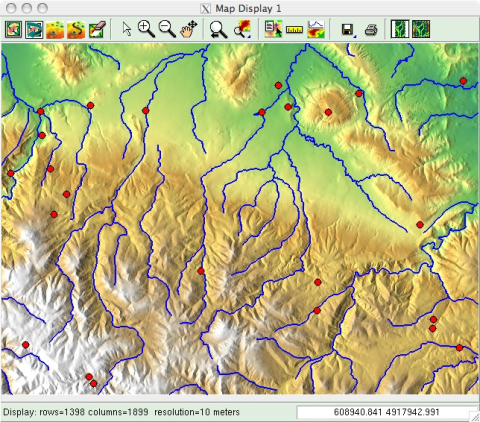
screenshot: M. Barton Profile tool 

screenshots: M. Barton Georectification tool 

screenshots: M. Barton |
|
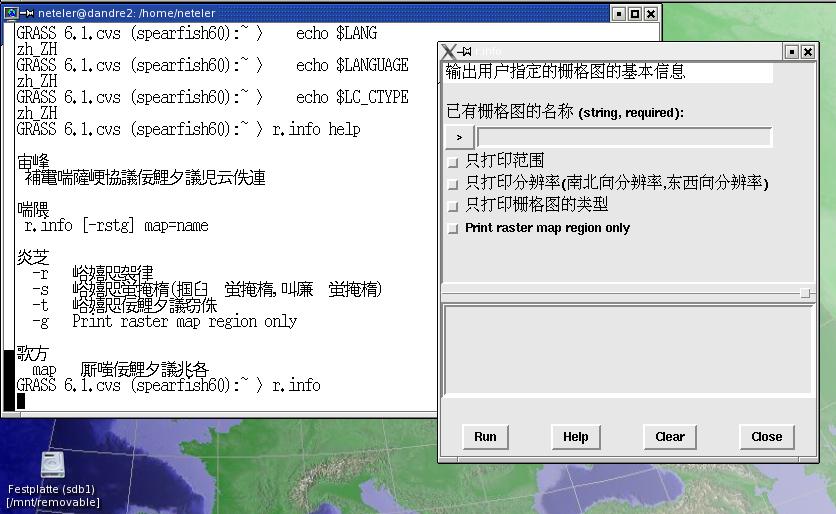
Module GUI in simple Chinese (the underlying .po file is coded in UTF-8).
As of this writing, GRASS has been fully or
partially translated into twenty languages.
|
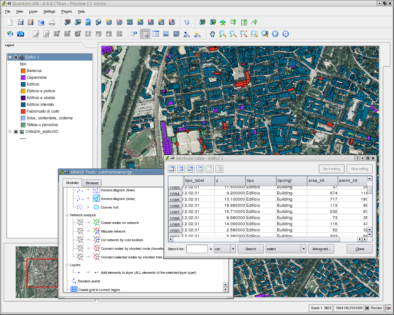
QGIS with GRASS support screenshot: M. Neteler |