The GRASS Development Team and members of the user community have collected
numerous screenshots on these pages.
Imagery data is treated as raster maps in GRASS, but there are a number of
special modules specifically designed to help with image processing.
For details, see the
imagery and
raster map
processing guides.
* Orthophoto processing: orthorectification of aerial photographs with
new GUI tools, i.ortho.photo, i.points, i.vpoints, ...
* Cluster analysis: i.class, i.cluster
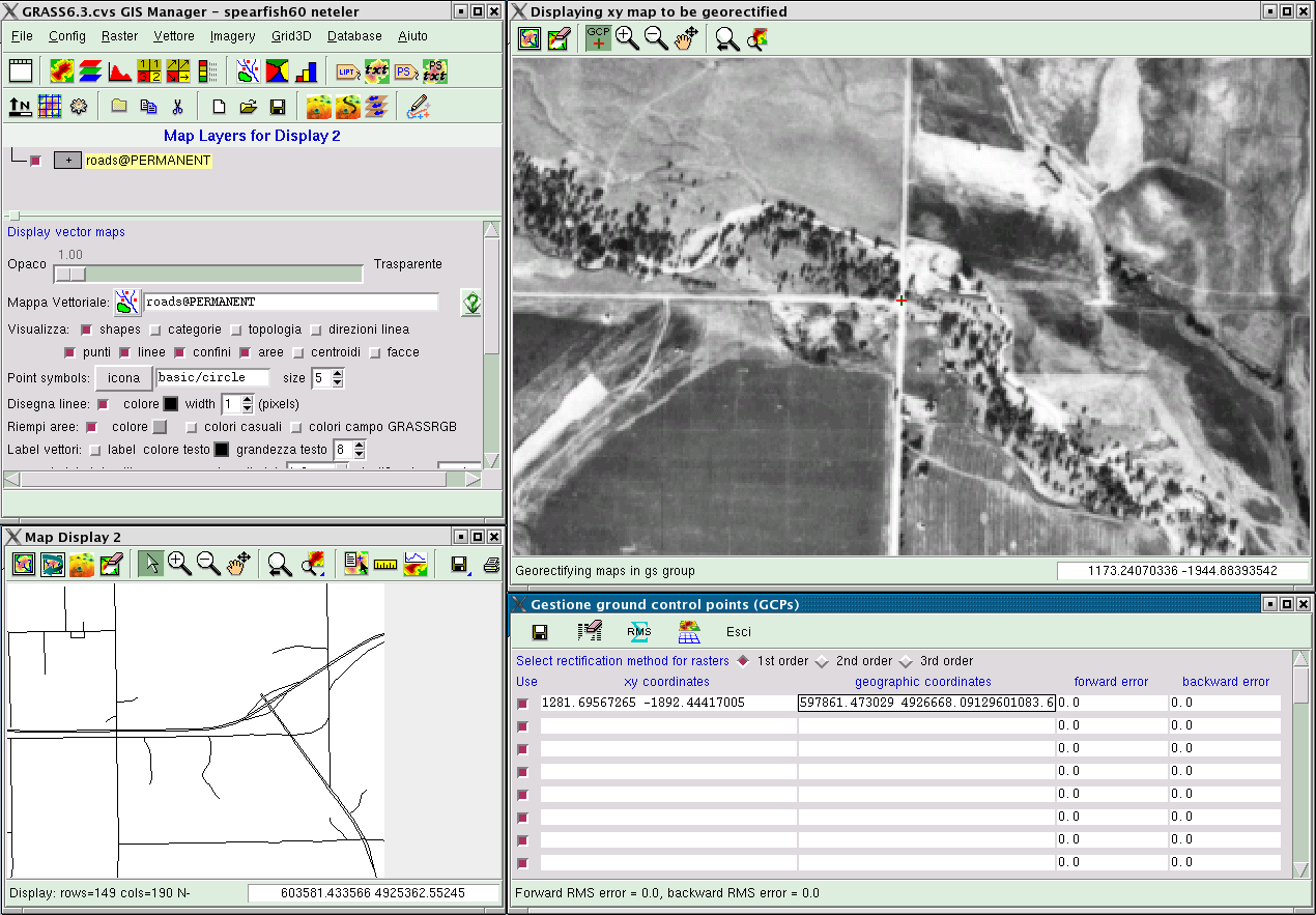
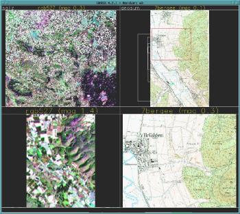
GRASS 6.3
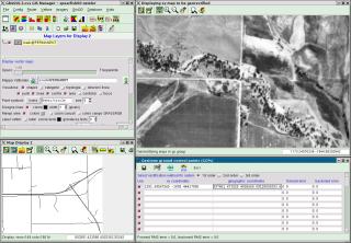
Georectification of aerial photo using the new GUI
screenshot: Markus Neteler
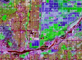
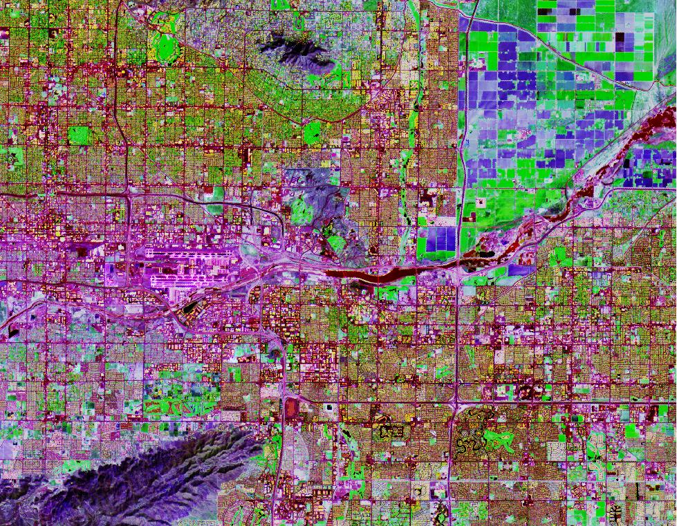
Tempe Arizona (USA): principal component analysis of ASTER satellite data, first three components visualized as RGB composite
screenshot: M. Barton
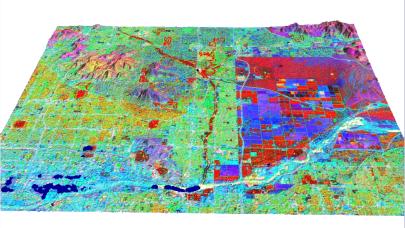
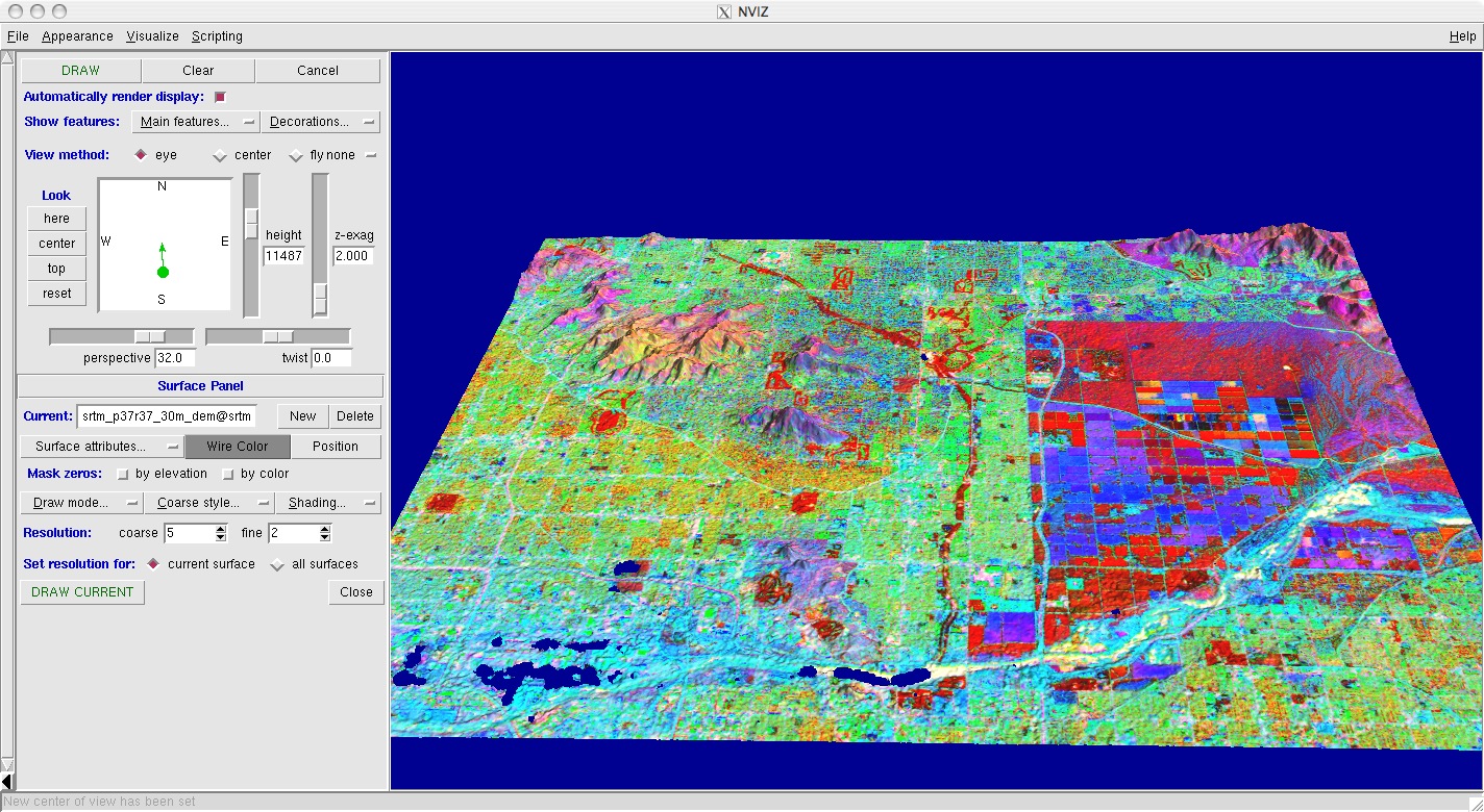
Tempe Arizona (USA): principal component analysis of ASTER satellite data, first three components visualized as RGB composite in NVIZ
screenshot: M. Barton
|
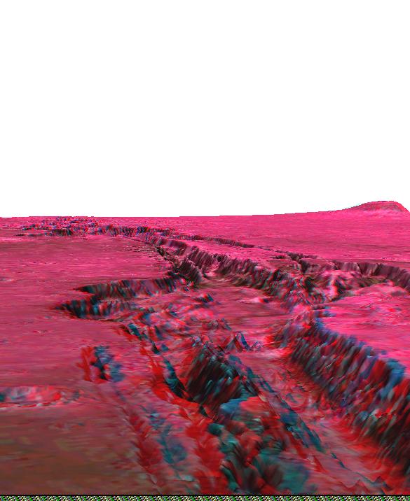
GRASS 5
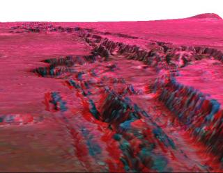
3D anaglyph view of Mars topography
(instructions)
screenshot: Peter Löwe
|
GRASS 4
The i.points georectification module
|