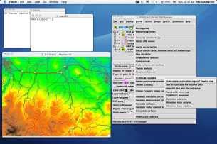
User Interface
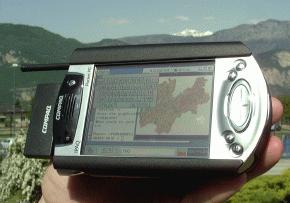
Platforms (Linux, Mac, Windows, Handhelds)
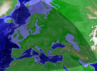
Raster map operations

Vector map operations
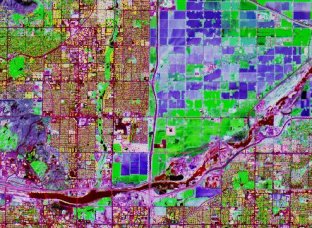
Image Processing
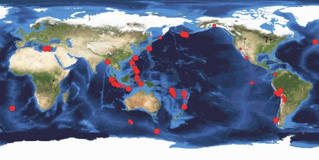
Remote Sensing and LIDAR
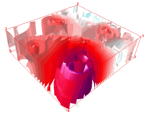
3D Visualization
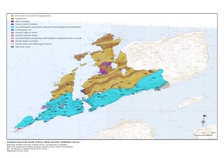
Cartography
Web Services