Imagery data is treated as raster maps in GRASS, but there are a number of special modules specifically designed to help with image processing.
For details, see the imagery and raster map processing guides.
* LIDAR processing: v.lidar.* modules, r.in.xyz, wiki page
* Satellite data import: r.in.gdal formats, i.fusion.brovey, i.oif, i.pca,
i.cluster, i.landsat.rgb
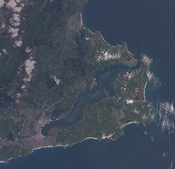
LANDSAT-7 image of Dunedin, New Zealand before i.landsat.rgb color enhancement
|
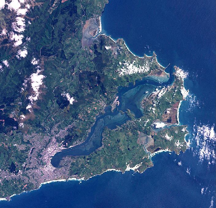
LANDSAT-7 image of Dunedin, New Zealand after i.landsat.rgb color enhancement
|
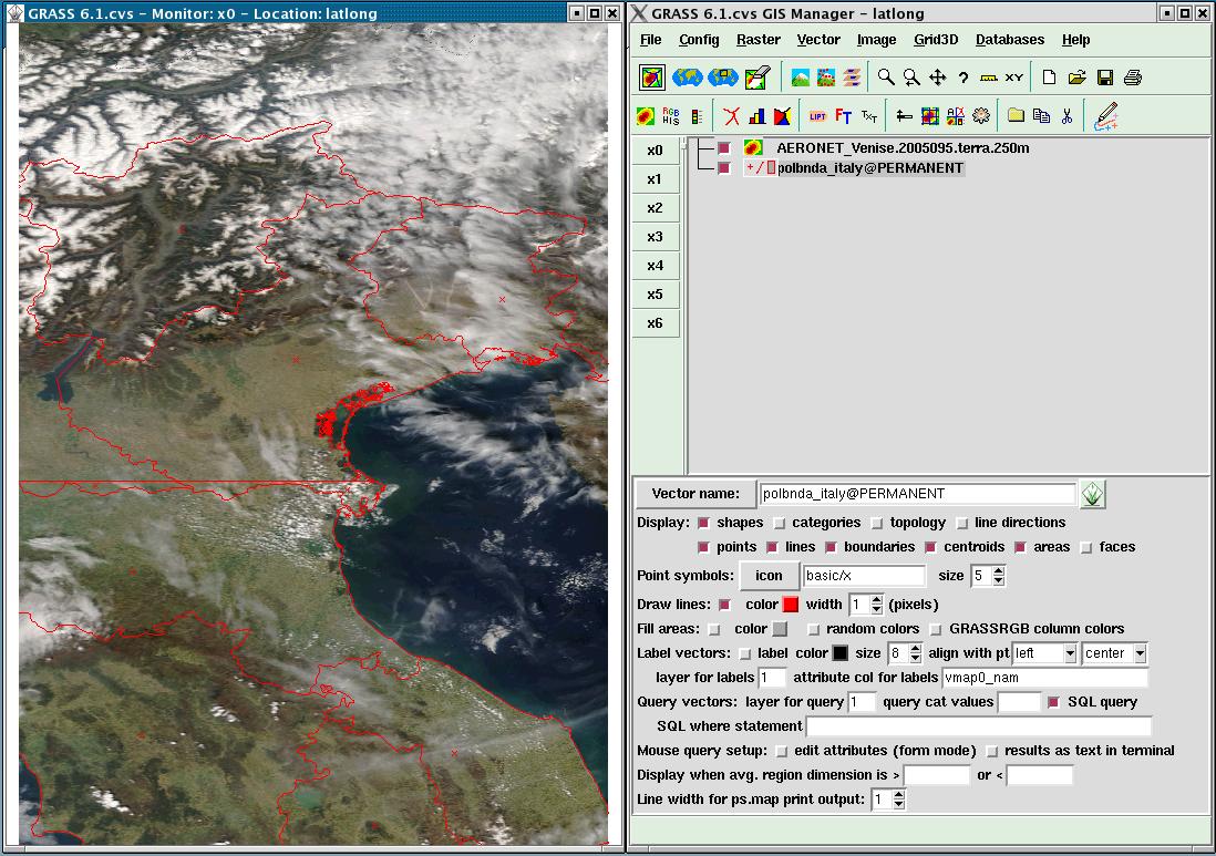
GIS Manager displaying MODIS Rapid Response System realtime data
|
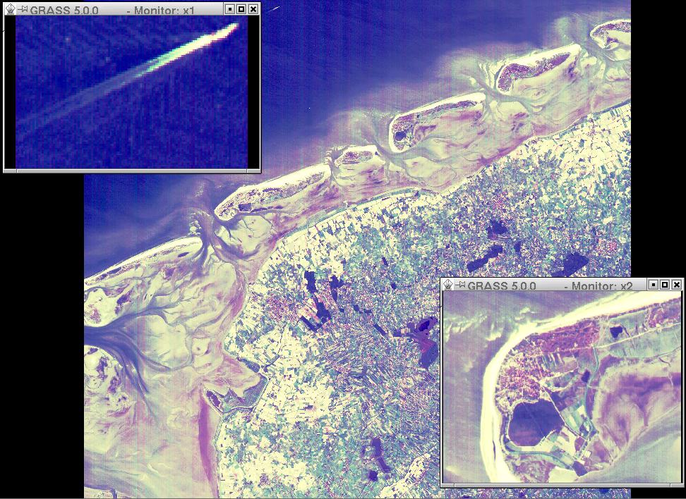
Part of Northern Germany as seen from
ASTER/TERRA
at 15m resolution,
26 August 2000 at 10:59:33 UTC.
Colors represent surface reflectance (green, red and simulated blue channels).
Note the magnified ship on the North Sea (upper left zoom window)
and the magnified part of Langeoog island.
|
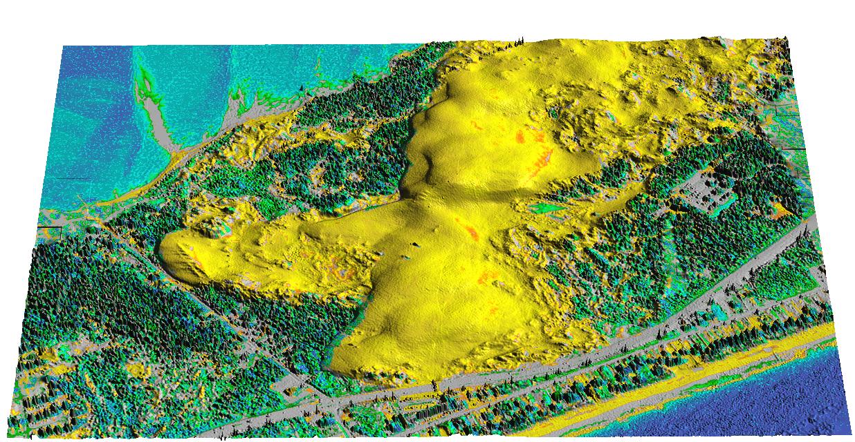
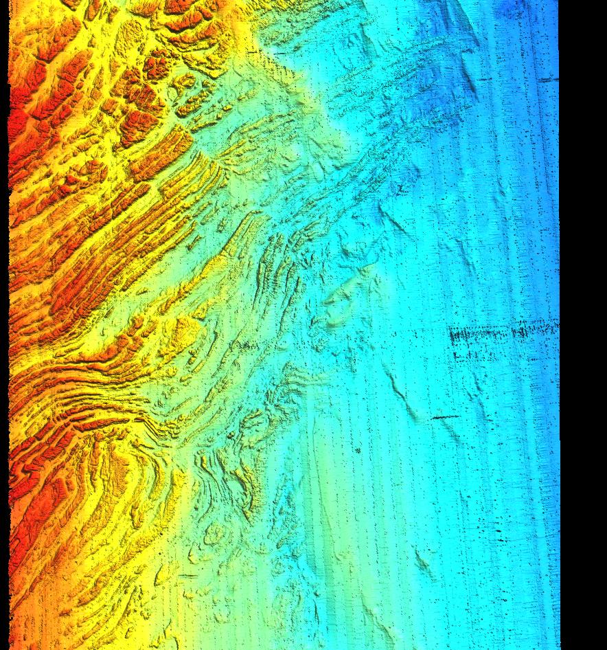
Dune Migration at Jockey's
Ridge State Park, North Carolina |
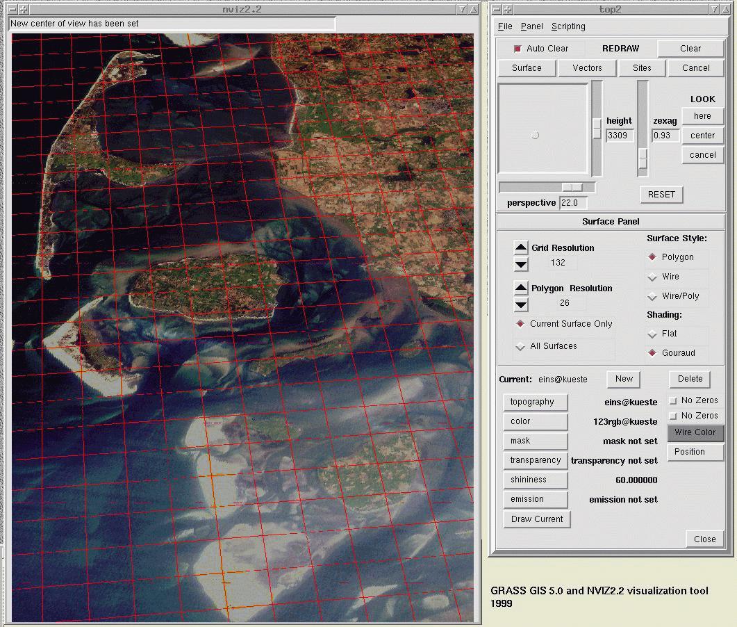
Perspective view of imagery with custom grid overlay in NVIZ
|