The GRASS Development Team and members of the user community have collected
numerous screenshots on these pages.
The GRASS HTMLMAP display driver
GRASS maps can be rendered to a number of output display drivers.
Typically this renders to a graphics window on your screen, but by using
the HTMLMAP driver
you can automatically create an image map suitable for inclusion on a web page.
The HTMLMAP driver allows the generation of HTML image maps for area vector
data. HTML image maps are used in conjunction with images to provide unique
URL targets for different portions of an image. The HTMLMAP driver can
create both client-side image maps embedded into HTML files, or server-side
image maps used by web server software.
Static web content using automatic batch jobs on back-end servers

Recent Earthquakes: map of earthquakes that have occurred in the last
7 days. A new image is generated every three hours by a
GRASS
batch job running on a headless server which fetches data from
the USGS and creates a logarithmic bubble plot
credit: H. Bowman and M. Neteler
|
Dynamic web content using PHP

Recent Earthquakes: map of earthquakes that have occurred in the last
7 days. Image is generated on the fly by a GRASS PHP script which fetches
data from the USGS and creates a calibrated bubble plot
credit: M. Neteler
|
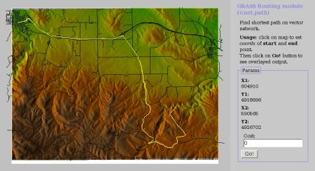
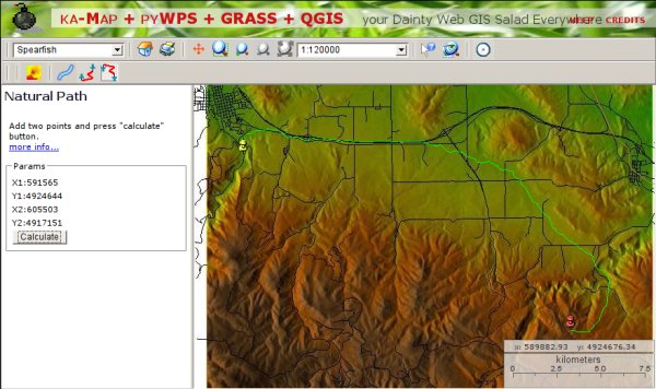
Interactive Web User Interfaces
PyWPS (Python Web Processing Service)
is an implementation of the
Web Processing Service
standard from the Open Geospatial Consortium.
Processes can be written using GRASS GIS, but the use of other programs is also possible.
For example, it may be used together with the R
geo-statistics package or GDAL or
PROJ tools.
|
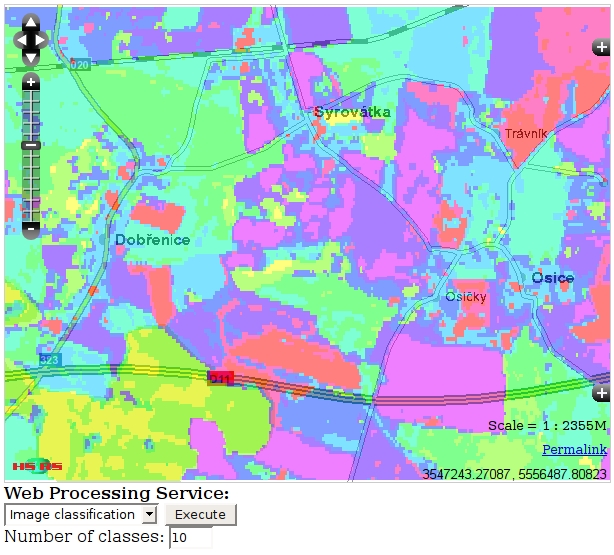
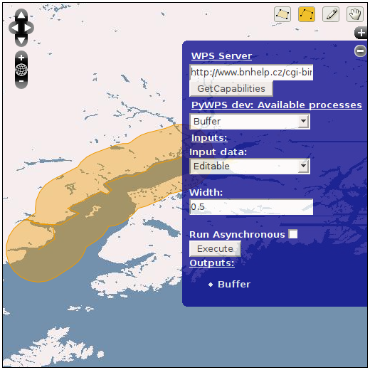
OpenLayers WPS interactive image classification, lines-of-sight and
shortest path demo.
credit: Jáchym Čepický
|
WMS
Web Map Service is a live geospatial data server system developed by the
Open Geospatial Consortium.
Two popular implementations are NASA World Wind and Google Earth.
There are many more WMS servers on the Internet,
here is a list of a few.
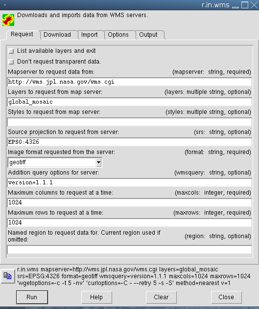
GRASS can load geospatial data directly from an online WMS server with the
r.in.wms
module. A simpler interface pre-tuned to
NASA's OnEarth server is
provided by the r.in.onearth module from the GRASS
wiki add-ons page.
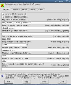
The r.in.wms WMS download and automatic reprojection module
Tcl/Tk GUI, ready to download LANDSAT-7 imagery for the current map
region from NASA's OnEarth WMS server
screenshot: H. Bowman
|
MapServer
See the GRASS and MapServer page on the GRASS Wiki site.

Live GRASS / MapServer demo
credit: M. Neteler
|
Napo