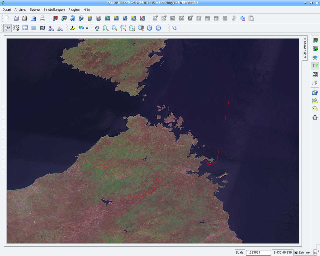
GPS import into GRASS GIS (v.in.gpsbabel), visualized in QGIS with LANDSAT from NASA WMS as background,
Sardinian Island, Italy (screenshot: M. Neteler)
|
GPS import into GRASS GIS (v.in.gpsbabel), visualized in QGIS with LANDSAT from NASA WMS as background,
Sardinian Island, Italy (screenshot: M. Neteler) |