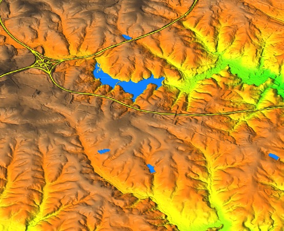
Figure: Raster map created by d.to.rast draped over digital elevation model.
g.region raster=elevation
d.rast map=elevation
d.rast map=lakes
d.vect map=roadsmajor width=4
d.vect map=roadsmajor width=2 color=yellow

# create a raster map from the display
d.to.rast output=composite
Then uncheck all layers except for elevation and switch to 3D view. In Data tab, set color map to the newly created composite map.
Figure: Raster map created by d.to.rast draped over digital elevation model.
Last changed: $Date$