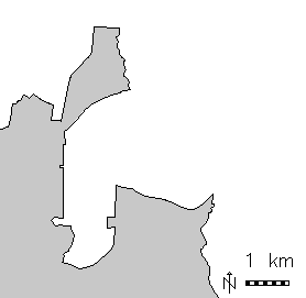
v.overlay: Polygon union of urban area and Census 2000 areas (North Carolina dataset)
Attributes of the tables from ainput and binput are joined into a new table linked to the output maps new cat-column.
v.overlay ainput=lake binput=province output=lakeXprovince operator=or
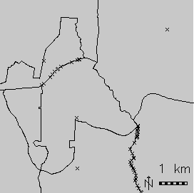
# input maps
d.vect urbanarea
d.vect census_wake2000

# union
v.overlay ain=census_wake2000 bin=urbanarea out=urban_census2000 operator=or

# show result, graphically zooming a subset
g.region n=230400 s=223800 w=655800 e=662400
d.erase
d.vect urban_census2000

# show merged attribute table
v.db.select urban_census2000 where="cat=108" -v
cat|108
a_cat|98
a_AREA|231001264
a_PERIMETE|67804.305
a_TRACT_|98
a_TRACT_ID|98
a_RINGS_OK|1
a_RINGS_NO|0
a_ID|98
a_FIPSSTCO|37183
a_TRT2000|054108
a_STFID|37183054108
a_TRACTID|541.08
a_TRACT|541.08
b_cat|55
b_OBJECTID|55
b_UA|73261
b_NAME|Raleigh
b_UA_TYPE|UA
g.region vect=zipcodes_wake

# extract Raleigh city
v.extract in=zipcodes_wake out=raleigh \
            where="ZIPNAME = 'RALEIGH'"

# clip road network to city polygon:
v.overlay ainput=roadsmajor atype=line binput=raleigh \
            out=roadsmajor_raleigh operator=and
Last changed: $Date$