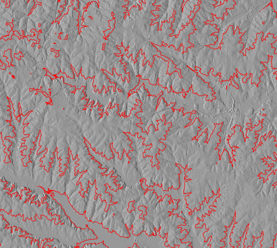
Contour lines shown on shaded terrain map
Zero is treated as a valid data value by r.contour.
If a contour level exactly matches a category value in the raster map, the contour line may backtrack on itself, causing illegal arcs to be produced in the output vector map.
The optional cut parameter allows the user to specify a minimum number of raster cells eligilble to be included in a contour line written to the output vector map. It acts like a filter, omitting spurs, single points, etc., making the output more generalized.
r.contour input=elevation.dem output=elevation_dem_contours \
          minlevel=1000 maxlevel=2000 step=100 cut=200
For an example of using levels with r.contour this example uses the elevation map from the North Carolina database:
g.region raster=elevation
r.contour in=elevation out=contours levels=60,90,120,150 --o
d.mon wx0
d.rast elevation_shade
d.vect contours color=red
For an example of using steps with r.contour this example uses the LiDAR data derived elevation map from the North Carolina database:
g.region raster=elev_lid792_1m -p
r.contour input=elev_lid792_1m output=elev_lid792_1m_contours \
          minlevel=100 maxlevel=150 step=10
Last changed: $Date$