| FDO .NET API Reference |
Feature Data Objects |
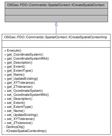
OSGeo::FDO::Commands::SpatialContext::ICreateSpatialContext Interface Reference
[OSGeo::FDO::Commands::SpatialContext]
Inherited by OSGeo::FDO::Commands::SpatialContext::ICreateSpatialContextImp.
Inheritance diagram for OSGeo::FDO::Commands::SpatialContext::ICreateSpatialContext:
 [legend]
Detailed Description
The ICreateSpatialContext interface defines the CreateSpatialContext command, which creates a new spatial context. Input to the command includes the name, description, coordinate system, extent type, and extent for the new context. Command execution will fail if the context already exists, or if the coordinate system or extent type is not supported by the provider.
()
Note: The geographic extent of a coordinate system should generally be defined as an envelope (or bounding box). However, any geometry type that falls into the surface geometric types can be used (e.g., polygons). If a non-rectangular area is passed in and the provider supports only a rectangular extent, the provider will compute the minimum box that encloses the given geometry and use that for the extent value.
| Comments or suggestions? Send us feedback. |