| FDO .NET API Reference |
Feature Data Objects |
OSGeo::FDO::Raster::IRasterPropertyDictionary Interface Reference
[OSGeo::FDO::Raster]
Inherited by OSGeo::FDO::Raster::IRasterPropertyDictionaryImp.
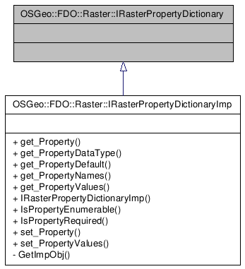
Inheritance diagram for OSGeo::FDO::Raster::IRasterPropertyDictionary:
 [legend]
Detailed Description
The IRasterPropertyDictionary exposes a dictionary style interface to the raster properties. Through this interface the non-standard properties of a raster image can be determined and their values can be retrieved and set. Data values are exchanged through the DataValue object to accommodate various data types, boolean, integer, double, string etc.
()
Definition at line 30 of file mgIRasterPropertyDictionary.h.
| Comments or suggestions? Send us feedback. |