| FDO .NET API Reference | Feature Data Objects |
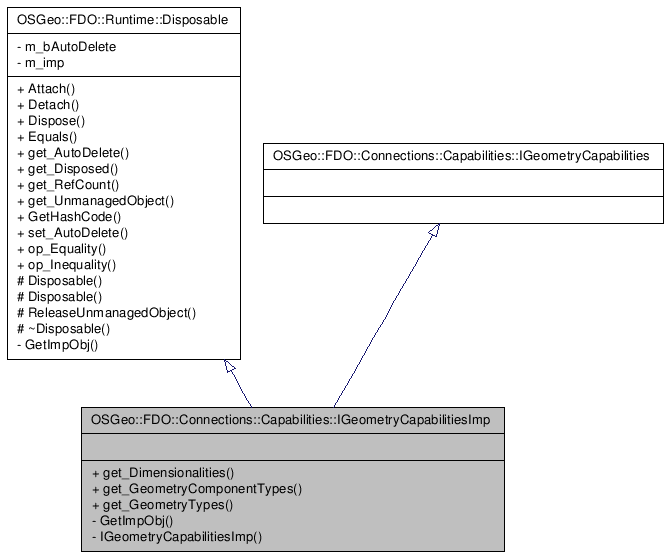
Inheritance diagram for OSGeo::FDO::Connections::Capabilities::IGeometryCapabilitiesImp:
()
Definition at line 30 of file mgIGeometryCapabilitiesImp.h.
Public Member Functions | |
| __property System::Int32 | get_Dimensionalities () |
| Returns the supported dimensionalities which are based on the bit masks defined in the Dimensionality enum. The Z and M bits indicate if the provider supports 3d or Measure dimensions in geometry data. The XY bit should be set too. | |
| __property OSGeo::FDO::Common::GeometryComponentType | get_GeometryComponentTypes ()[] |
| Return the list of supported component types. For example, if a client wanted to know if circular arcs were supported by a provider, it would call GetGeometryComponentTypes and check for CircularArcSegment in the returned list. | |
| __property OSGeo::FDO::Common::GeometryType | get_GeometryTypes ()[] |
| Return the list of supported geometry types. For example, if a client wanted to know if a provider supported multi-polygons, it would call GetGeometryTypes and check if the MultiPolygon type was listed. | |
| Comments or suggestions? Send us feedback. |